|
|
|
|
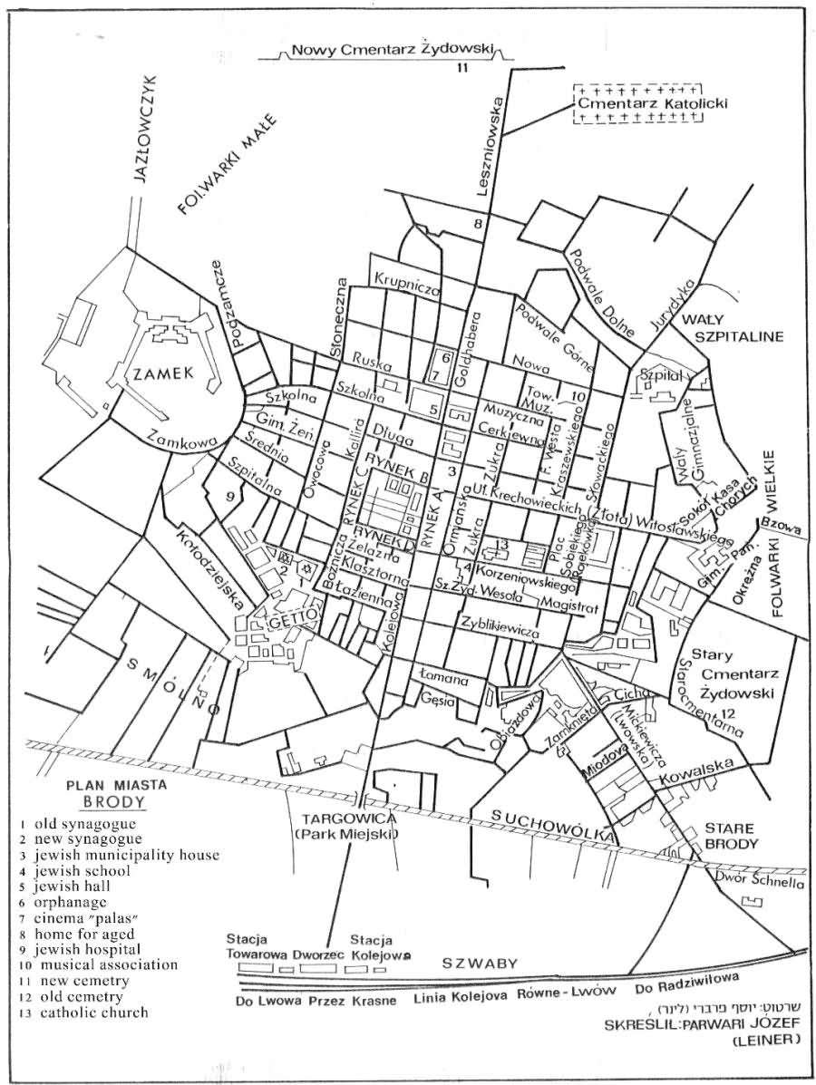
Legend
1. Ruins of Old Synagogue |
|
|
These photographs are from the Records of the Defense Intelligence Agency Record 373, Captured German World War II photographs available from the National Archives and Records Administration II Cartographic Section.
|
|
|
|
|
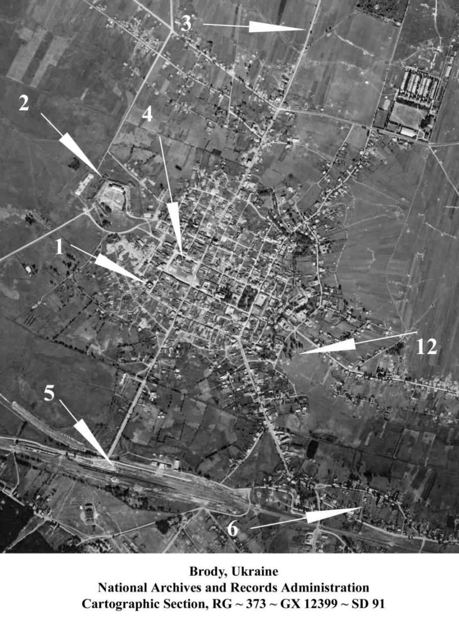
Legend
1. Ruins of Old Synagogue |
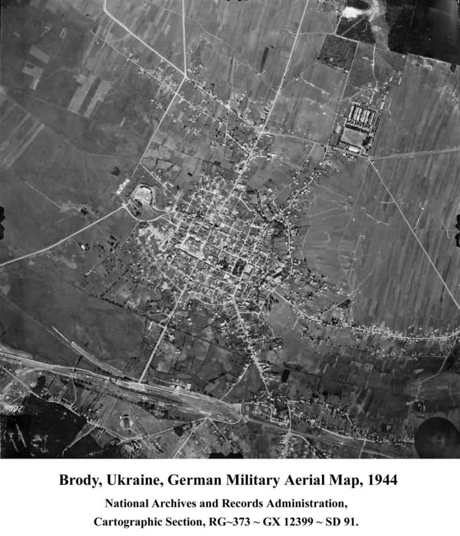
Aerial photograph (without arrows)
|
|
JewishGen, Inc. makes no representations regarding the accuracy of
the translation. The reader may wish to refer to the original material
for verification.
JewishGen is not responsible for inaccuracies or omissions in the original work and cannot rewrite or edit the text to correct inaccuracies and/or omissions.
Our mission is to produce a translation of the original work and we cannot verify the accuracy of statements or alter facts cited.
 Brody, Ukraine
 Yizkor Book Project
 JewishGen Home Page
Copyright © 1999-2026 by JewishGen, Inc.
Updated 5 Feb 2017 by LA