|
|
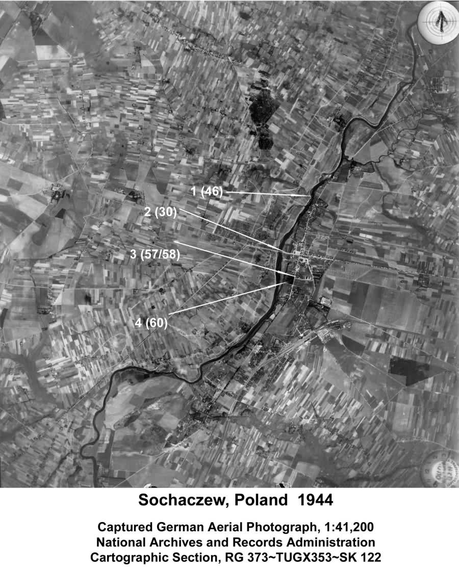
National Archives and Records Administration Cartographic Section RG 373~TUGX353~SK 122
Numbers in parenthesis refer to numbers in Yizkor Book
1. (46) Bzura River
See also Sochaczew map
|
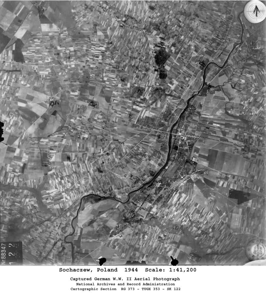
National Archives and Records Administration Cartographic Section RG 373~TUGX353~SK 122 |


